




















THE TAKEAWAY
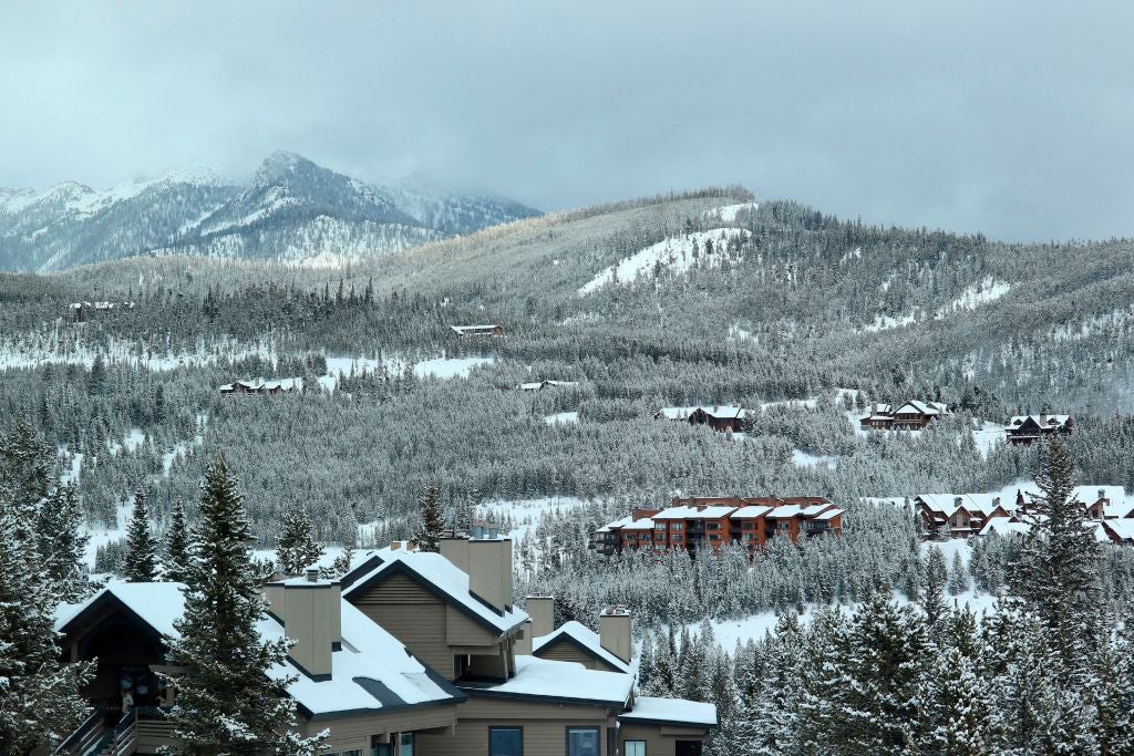
Super El Niño could help mountains across the West make a significant rebound in terms of snow this upcoming winter after warm temperatures and a lack of storms contributed to a record-low snowpack across the Intermountain West last winter.
That comes as, earlier this past week, NOAA confirmed that Super El Niño conditions are indeed present in the Central Pacific.
SUPER EL NIÑO DECLARED AS FORECASTERS WARN OF MAJOR SHIFTS IN WEATHER DURING WINTER SEASON
Long-range forecasts released earlier this week by both NOAA and generated by the European forecast modelfor above-average snowfall across the Sierra Nevada, the Great Basin, the Wasatch Range and the central Rockies through March.
Mountain ranges that are expected to see below average snowfall include the Cascades and those in the interior Northeast.
According to the FOX Forecast Center, the increased storm frequency due to Super El Niño should help mountain ranges and ski resorts in the West rebound significantly.
During a Super El Niño, the Pacific jet stream tends to become more extended and active, acting as a conveyor belt that directs storms farther across the southern tier of the U.S., the FOX Forecast Center said.
SUPER EL NIÑO FUELED WINTER COULD UNLEASH MORE STORMS, DRIVING MORE ACTIVE PATTERN INTO THE SOUTH
While El Niño’s warm Pacific air generally keeps temperatures above average, potentially limiting widespread snowfall, higher elevations should still be cold enough to see increased snow from the more frequent storms.
El Niño is one of three phases of a climate cycle called the El Niño-Southern Oscillation (ENSO). It describes natural temperature changes in the central Pacific Ocean that alter atmospheric circulation and can greatly influence global weather.
Temperatures have to remain 2 degrees above average for three months to officially be considered a Super El Niño event.
We could already be seeing signs of this pattern unfolding after two major storms barreled across the Southwest in October, dropping more than a foot of snow across Colorado’s San Juan Mountains while causing widespread flooding at lower elevations.
NASA SATELLITES REVEAL STRIKING OCEAN COLOR CHANGE AS SUPER EL NIÑO STRENGTHENS
The Mammoth Mountain ski resort in the California Sierra told FOX Weather opened early this year after recent storms produced nearly 2 feet of snow.
Storms from an atmospheric river this weekend are expected to drop feet of snow across the northern Sierra through Monday.
Record warmth across the West paired with relatively few storms combined to produce a record-low snowpack across most of the mountain ranges in the West last winter.
Last season, numerous ski resorts closed early due to a lack of snow and periods of unseasonably warm weather.
Additionally, snowpack across the Intermountain West is a primary source of water for the Colorado River and the broader Southwest year-round.
The post New long-range forecasts reveal snow trends increasing for starved Mountain West amid Super El Niño appeared first on Fox Weather