








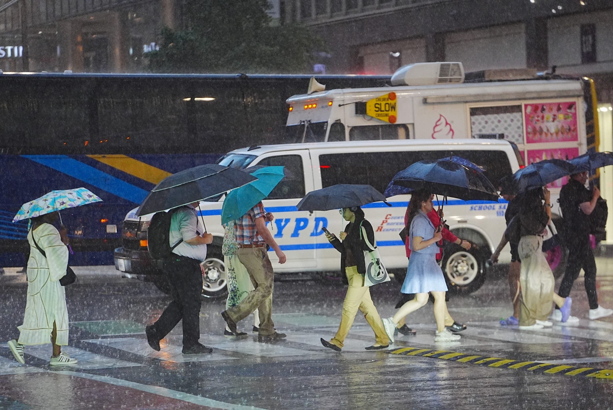





















Labor Day weekend is just days away, marking the unofficial end of summer, but the weather could put a damper on holiday plans as rain and thunderstorms are expected across parts of the U.S.
The weekend is expected to start with active weather across the Southeast, Four Corners and Southwest.
According to the FOX Forecast Center, tropical downpours will continue across much of Florida as easterly winds settle in, keeping Atlantic moisture stalled over the region. Afternoon thunderstorms could disrupt beach or BBQ plans.
As Tropical Storm Marie tracks near the Southwest, a surge of tropical moisture is possible.
The region could see monsoon thunderstorms capable of producing flash flooding in numerous cities, including Phoenix and Tucson, AZ. A Level 1 out of 4 flash flood risk has been issued across the region.
Meanwhile, the Central U.S. will continue to experience above-average temperatures.
Minneapolis and Oklahoma City could see temperatures running 5 to 10 degrees above average, with mainly dry conditions expected, likely providing a picture-perfect forecast for those looking to end summer on a high note.
As we move further into the holiday weekend, more of the same weather is expected on Sunday.
Monsoon storms will likely increase across the Southwest and Intermountain West. The unsettled pattern could keep temperatures cooler than average, marking a big change from the record heat the Southwest has experienced this season.
ICONIC MUSIC FESTIVAL CANCELS 2027 EVENTS AFTER SEVERE STORMS LEAVE LASTING DAMAGE
In Florida, afternoon thunderstorms are expected to decrease compared to Saturday but will continue, especially across southern Florida.
The Northeast will likely see a dry Sunday as a high pressure system quickly moves in from Canada, bringing seasonable temperatures.
Meanwhile, warm air will remain across the central and Southern Plains for another day.
On Labor Day, quieter weather is forecast to take shape across much of the country. Aside from lingering summer heat across the central and Southern Plains, seasonable temperatures are expected across the Heartland, Great Lakes and Northeast.
HOW HIGH PRESSURE AND LOW PRESSURE DRIVE THE WEATHER
While a few showers will be possible across the interior Northeast, a mainly dry holiday is expected.
However, more unsettled weather will remain across the Southeast and Florida as summertime thunderstorms continue and a cold front moves south, impacting areas from Atlanta to Miami.
Storms will also be possible across the Northern Plains and Upper Midwest as moisture rides along the northern edge of the ridge of high pressure, which will continue to keep the central U.S. warm.
Monsoon storms will once again be possible across the Four Corners during the afternoon, with lingering storms also possible in Southern California.
Stay with FOX Weather for the latest.
The post Stormy sendoff to summer expected as active weather threatens Labor Day weekend plans across the US appeared first on Fox Weather