




















THE TAKEAWAY
Another round of dangerous severe weather will shift eastward and develop over New Mexico Friday afternoon after storms triggered flash flooding and evacuations across parts of the Four Corners region Thursday.
SEVERE WEATHER THREAT TARGETS FOUR CORNERS AS NEW MEXICO SEES ITS FIRST TORNADO WATCH IN 28 YEARS
The severe storms will move away from Arizona and Utah, giving both states a break as an upper-level low shifts east into New Mexico.
A 2 out of 5 severe weather threat covers much of central New Mexico, with large, damaging hail as the primary concern. A few tornadoes are also possible.
A 2 out of 4 flash flood threat is also in place, with rainfall rates potentially exceeding 2 to 3 inches per hour, raising concerns for localized flash flooding.
Colorado Gov. Jared Polis verbally declared a state of emergency late Thursday in response to flooding across the southwestern part of the state.
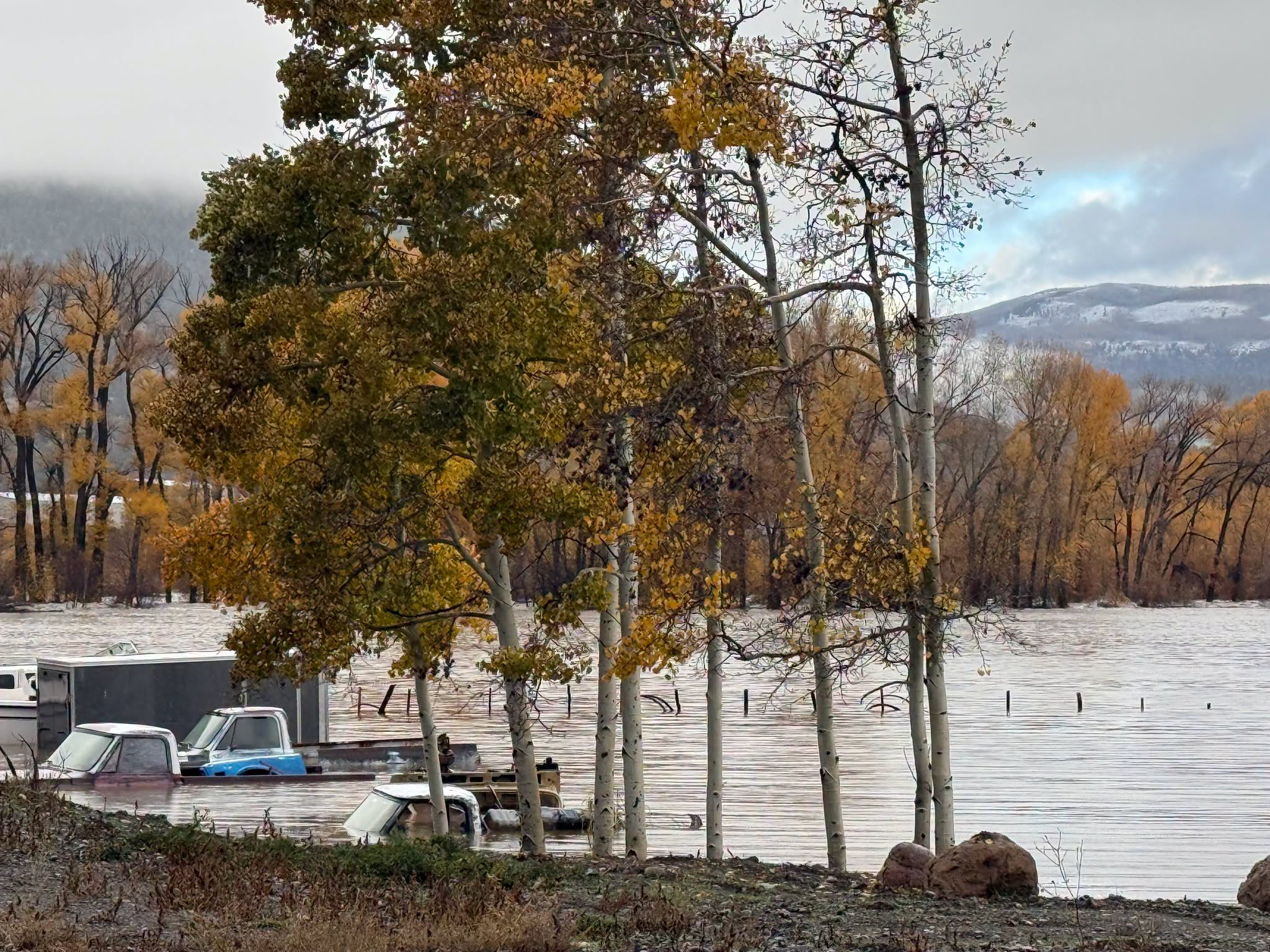
Widespread flooding continued across South Fork, Colorado, on Friday, with mandatory evacuations remaining in effect after parts of the Rio Grande and local creeks overtopped their banks.
The Town of Pagosa Springs, near the New Mexico border, declared a local state of emergency due to flooding.
Flash flooding also struck parts of Utah again Thursday, including the town of Hurricane, where floodwaters inundated several areas.
City officials said at least 130 homes and RVs were damaged.
Residents living near Gould Wash were ordered to evacuate immediately as floodwaters inundated the area.
SEE IT: UTAH CITY FORCED TO EVACUATE IMMEDIATELY AS DANGEROUS FLASH FLOODING INUNDATES THE REGION
The heavy rainfall transformed the typically dry landscape, turning the streets into rushing waterways.
Meanwhile, four people were rescued by helicopter from the roof of a pickup truck surrounded by floodwaters near Rimrock, Arizona on Thursday.
Severe weather began Wednesday, bringing powerful wind gusts, hail and widespread flash flooding that continued into Thursday. The storms also prompted two rare Tornado Watches across the region.
WHAT IS A SUPERCELL THUNDERSTORM?
Arizona saw a Tornado Watch on Wednesday for the first time since October 2010, followed by another on Thursday. In New Mexico, a Tornado Watch was issued for the first time since 1998.
The National Weather Service crews will survey damage from a suspected tornado that struck Heber, Arizona on Wednesday, as severe storms moved through the area. Fire officials said 1 person was taken to the hospital with non-life-threatening injuries.
The storms also produced powerful wind gusts, including a 72-mph gust recorded in Flagstaff.
Beyond the severe storms, flash flooding was reported across Arizona and southern Utah.
HOW HIGH PRESSURE AND LOW PRESSURE DRIVE THE WEATHER
Farther south, in Northern Arizona, the Moenkopi Wash near Tuba City, reached a record-high level. The previous record stood at 29.79 feet, but by 7 p.m. ET Thursday, the water level had climbed to 32.48 feet, nearly 3 feet above the previous record.
The flood threat across New Mexico and West Texas is expected to last into Saturday morning.
Check back for updates on this developing story.
The post Southwest faces more severe weather, flash flooding as Colorado Gov. declares state of emergency appeared first on Fox Weather