




















THE TAKEAWAY
SEATTLE — A relentless conveyor belt of Pacific moisture is fueling a series of storms across the Pacific Northwest, bringing periods of heavy rain, gusty winds and mountain snow to Washington and Oregon through the weekend.
Overnight Saturday, power was knocked out to nearly 100,000 customers across Washington due to high wind gusts.
WHEN IS THE EARLIEST SNOWFALL ON RECORD FOR PARTS OF THE NORTHEAST?
Wind gusts at lower elevations reached 50-60 mph, as higher elevations saw gusts reach 95 mph.
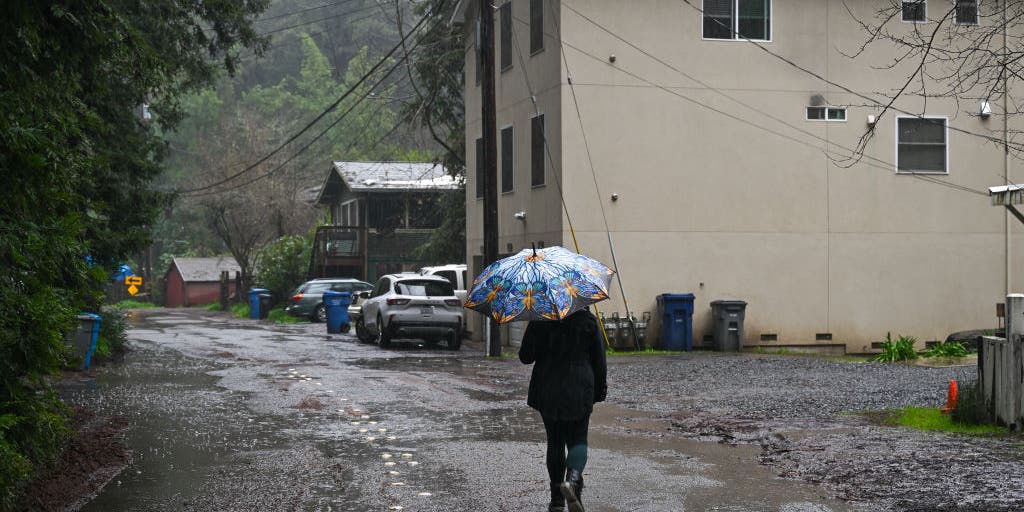
A first round of rain has spread over Washington, the first of a series of storms expected to slam parts of the Pacific Northwest as an atmospheric river moves into the region following a rare dry October. This first storm system swept across Washington and Oregon, bringing heavy rain, gusty winds and snow in the Cascade region.
Wind Alerts are in effect across coastal parts of Northwest Washington, the Puget Sound, as well as the Outer Coast for gusts up to 50 mph.
Snowfall will be limited to higher elevations across the Cascades, where up to 6 inches is possible.
Seattle, Tacoma, and Bellingham are expected to get about 1 to 2 inches, with some higher amounts possible.
The first round of precipitation has already arrived and will continue through Sunday.
The good news is that the rainfall is not currently expected to create flooding issues, the FOX Forecast Center said.
The heaviest rain is expected across the Olympic Mountains, one of the wettest regions in the country, where annual precipitation totals typically range from 109 to 152 inches. Up to 5 inches of rain is possible in the mountains.
According to the FOX Forecast Center, this atmospheric river will rotate a series of storms through Western Canada, fueling persistent rain and snow in the Northwest through much of next week.
Scattered showers could return to the region Sunday before the next storm arrives Monday night.
Despite incoming storms, Seattle experienced its seventh-driest October on record with just 1.2 inches for the month.
The wet weather will be a welcome change for the dry landscape.
POLAR VORTEX DISRUPTION COULD BE EARLIEST ON RECORD, BUT EL NIÑO IMPACT MAY KEEP US WARM
As the atmospheric river remains in place, Northwest residents should expect a prolonged stretch of wet weather, with additional rounds of rain and snow continuing through much of next week.
Stay with FOX Weather as we bring you the latest about this developing storm.
The post First round of rain, mountain snow sweeps across Pacific Northwest as atmospheric river moves into the region appeared first on Fox Weather