 Apple TV + F1")

 Alexa+ Free with Prime get Nikki")


 The Easter Shop")


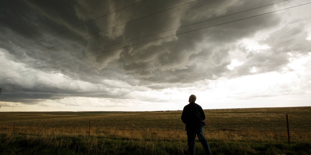


As the severe weather season gets underway, NOAA's Storm Prediction Center is adding additional types of severe weather outlooks to their forecasts this year — designed to help people better prepare for expected tornadoes, wind gusts and hail.
Debuted on March 3, 2026, the revamped outlook marks a major milestone in how the risk of dangerous storms is communicated to the public before they happen.
The Storm Prediction Center (SPC) is a part of the National Weather Service (NWS) operating under the National Oceanic and Atmospheric Organization (NOAA) and provides forecasts for severe thunderstorms and tornadoes in the U.S.
Currently, the SPC uses a five-level scale to communicate the severe weather threat for a particular area: "Marginal," "Slight," "Enhanced," "Moderate" and "High."
THE SPC 5-POINT SEVERE THUNDERSTORM RISK CATEGORY SCALE EXPLAINED
While those categories will remain, the SPC is adding new "Conditional Intensity Groups" to highlight exactly how intense hazards like tornadoes, wind and hail will be.
Currently, the SPC draws a "hatched area" on outlooks to describe where particularly nasty hazards should be expected based on the environmental conditions and types of storms that are forecast.
In the image below, the hatched area is indicated by a black shape filled with small black lines, which indicate a significant threat of a particular type of severe weather.
Inside the hatched area signifies the potential for EF-2+ tornadoes, 75+ mph winds and hail greater than 2".
Whether it meant extreme straight-lined winds, destructive hail or catastrophic tornadoes, the old system hatching was the same whether the SPC was expecting a strong EF-2 or a dangerous EF-5 tornado.
The new CIG levels aim to better communicate the storm intensity the SPC expects in a certain area for a particular type of severe weather.
Going forward, in accordance with the SPC's Convective Outlook maps, CIG intensity groups will look like this in future FOX Weather graphics.
TORNADO INTENSITY
HOW ARE TORNADOES RATED? THE ENHANCED FUJITA (EF) SCALE EXPLAINED
At each intensity, there will be a small chance for a stronger tornado than the max rating shown. For that reason, FOX Weather graphics will feature a "+" sign.
WIND INTENSITY
HAIL SIZE
For over a decade, the "Marginal to High" risk scale has been the gold standard for severe weather preparedness, but the introduction of CIG marks the most significant evolution in SPC history since 2014.
If you’ve looked at the SPC maps issued today and noticed new hatching patterns or extra numbers, don't worry. The system hasn't become more dangerous, it’s just become much more precise.
The biggest takeaway is that the 1-to-5 Categorical Risk scale is not changing. You will still see Level 1, 2, 3, 4 and 5 risks from FOX Weather. These still represent the probability and coverage of severe weather.
"It's a smarter way to be prepared and stay safe," SPC Meteorologist Evan Bentley said in a post on X.
Simply put, the introduction of Conditional Intensity Groups further communicate the specific threat of severe weather.
Level 1 shows that significant severe weather is possible.
Level 2 shows a dangerous environment with the potential for intense (EF-3+) tornadoes or extremely large hail.
Level 3 shows rare, historic outbreak-level intensity with violent (EF-4+) tornadoes or derechos.
The post NOAA's Storm Prediction Center debuts revamp to severe weather outlooks this season appeared first on Fox Weather


