NEW YORK – Strong thunderstorms rumbled through the Northeast Thursday evening, soaking the evening commute and any last-minute Fourth of July travelers along the Interstate 95 corridor.
Scattered damaging wind gusts of 50-65 mph and large hail were the primary threats with the thunderstorms.
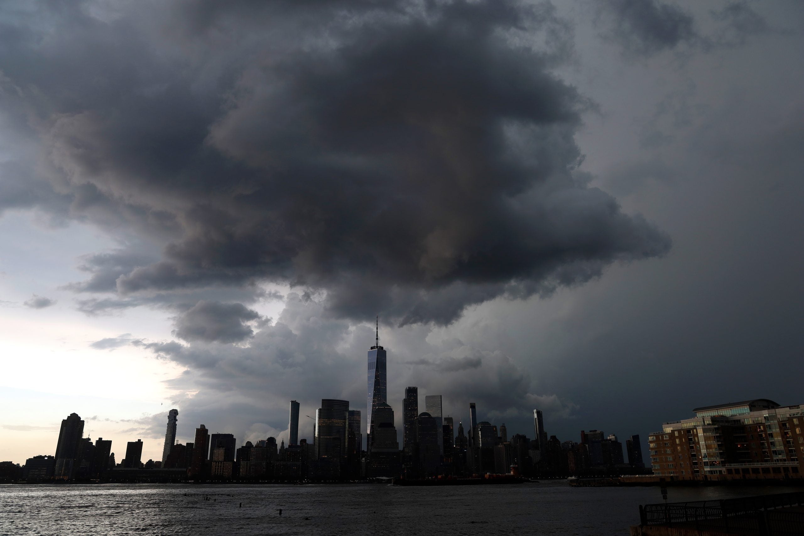
A severe thunderstorm brought winds gusting to 65 mph across portions of northern New Jersey during the evening. Multiple damage reports came in from Plainfield with reports of trees and power lines down - in one instance trapping people inside a car, according to the National Weather Service.
More wind-related damage was reported farther north around Middletown and Kingston, New York.
Video from Spafford, New York, showed small hail battering a windshield through heavy rain.
Flight delays were also reported in and out of major airports that cover Boston and the New York City metro area.
These storms come on the heels of numerous severe storms that impacted the I-95 corridor at the start of the week, leading to hours-long air travel delays.
WHERE RAIN COULD DISRUPT FOURTH OF JULY WEEKEND EVENTS, FIREWORKS AND PARADES
On Friday, all the wet weather is expected to clear out, making for a nice day across the Northeast and New England.
By Friday, things should clear out, making for a nice day across the Northeast and New England.
The post New York City area, I-95 corridor slammed by thunderstorms on eve of the 4th of July appeared first on Fox Weather