









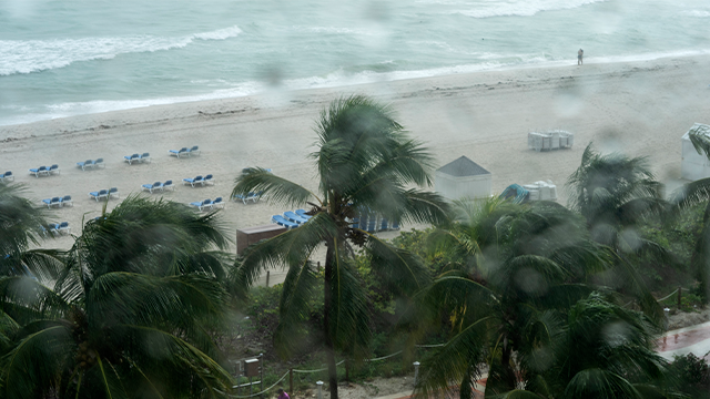





















The National Hurricane Center (NHC) has identified a new area to watch for potential tropical development in the Atlantic's Main Development region, several hundred miles off the coast of West Africa, an area that previously had not seen a hint of tropical activity this hurricane season.
According to the NHC, an area of thunderstorms southeast of the Cabo Verde Islands has become better organized and is being given a low chance of developing over the next two days.
LATEST FROM FOX WEATHER HURRICANE SPECIALIST BRYAN NORCROSS
That comes on the heels of the NHC issuing an area to watch that stretches from the Gulf waters off Florida's Big Bend across the peninsula and along the coasts of Georgia and South Carolina.
An area of low pressure is expected to develop over this area through the weekend and the NHC is currently giving it a low chance of tropical development over the next seven days.
This is the same area the FOX Forecast Center was closely monitoring for potential development earlier this week.
"As of right now, there is no immediate threat or even an area of low pressure to track," the FOX Forecast Center said.
"Once an area of low pressure forms, we'll then have a better handle on the timing and impacts for tropical downpours across Florida and potentially up the Southeast coast."
The Exclusive FOX Weather Tropical Threat shows a low chance of development, but odds are steadily increasing.
DANGEROUS FLOOD THREAT TARGETS MILLIONS ACROSS TEXAS, INCLUDING HILL COUNTRY, AND THE GULF COAST
Regardless of any tropical development, people in northern Florida and other parts of the Southeast will likely see tropical downpours from this system.
A system is considered to be "tropical" when well-organized thunderstorms rotate around a distinct center over warm water.
Historically, most of the tropical systems that develop in July are so-called "homegrown threats" — systems that develop close to the American coastline. Currently, water temperatures remain above average in the Gulf and off the Southeast coast.
Meanwhile, strong winds, plumes of Saharan dust and average water temperatures are creating a hostile environment for tropical development across much of the open Atlantic, in what has been a quiet start to the season.
However, the area to watch off of Cabo Verde is moving through a pocket of favorable conditions before it is expected to encounter that belt of hostile wind and Saharan dust, according to the NHC.
"Way down the line, if anything remains of the disturbance, it could find new life in the subtropical Atlantic, but there is a long way to go," the FOX Forecast Center said.
Tropical Storm Arthur, which formed along the Texas coast on June 17, remains the year's only named storm thus far. The next named storm of the 2026 Atlantic hurricane season would be "Bertha."
FOX Weather is your Hurricane HQ. Check back for updates on this developing story.
The post Tropical development possible as areas to watch identified near Florida and approaching Atlantic basin appeared first on Fox Weather