




















THE TAKEAWAY
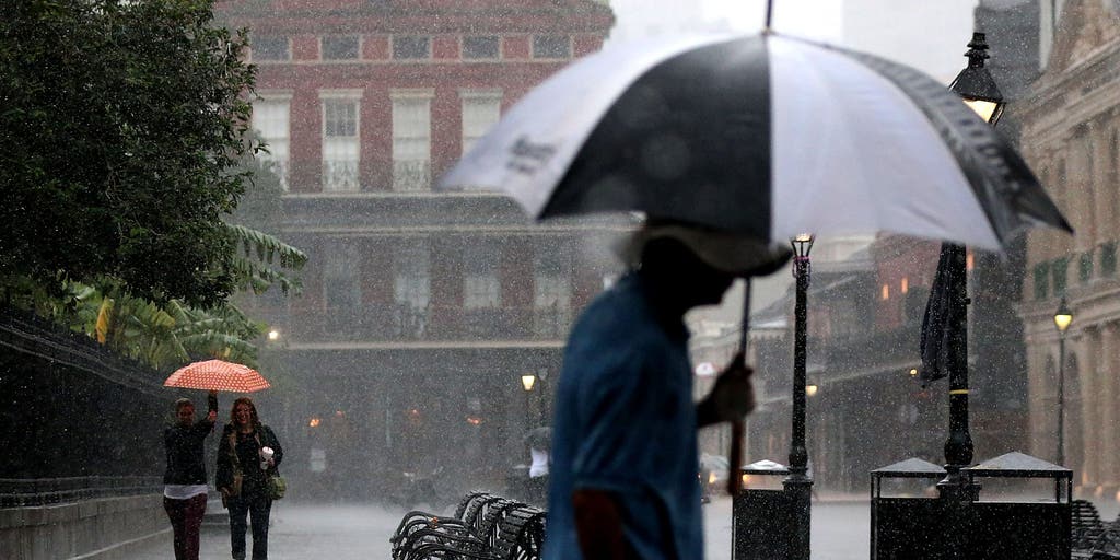
Prolonged late-summer downpours and thunderstorms continue to hammer the Southeast, with high pressure funneling in tropical moisture and increasing the flood threat into the weekend.
As the system peaks heading into the weekend, the highest rain totals will likely target the Gulf Coast and central Florida on Saturday.
On Friday, large portions of the Southeast are under a Level 1 out of 4 threat, extending from the Carolinas to the Gulf Coast, excluding Florida.
Severe storms ripped through parts of the Southeast on Friday, triggering a ground stop at Hartsfield-Jackson International Airport in Atlanta.
NEVER-ENDING HEAT DOME TARGETS PLAINS AS NEARLY 45 MILLION AMERICANS FACE HEAT ADVISORIES
This comes as high pressure sits across the Northeast and Mid-Atlantic. Its clockwise flow will continue pumping abundant Atlantic moisture westward. Combined with daytime heating, storms with high rainfall rates could develop and produce isolated flash flooding, the FOX Forecast Center said.
The trend continues on Saturday, with the flash flood threat over a slightly smaller area of the Southeast, but ramps up in Florida.
Cities including Raleigh, North Carolina, New Orleans, Atlanta and Tampa, Florida, will be in the 1 out of 4 threat.
Low-lying cities like Tampa and New Orleans could see between 2 and 3 inches of rain, with localized totals between 3 and 5 inches possible through Sunday.
HOW HIGH PRESSURE AND LOW PRESSURE DRIVE THE WEATHER
Elsewhere, 1 to 2 inches of rain is possible through Sunday, the FOX Forecast Center said.
For many places, rain is beneficial, especially in Florida.
About 66% of the Sunshine State remains under some level of drought, which is a significant improvement from the spring, when 100% of the state saw some type of drought.
The post Persistent downpours trigger flood threat for drought-ridden Southeast through the weekend appeared first on Fox Weather