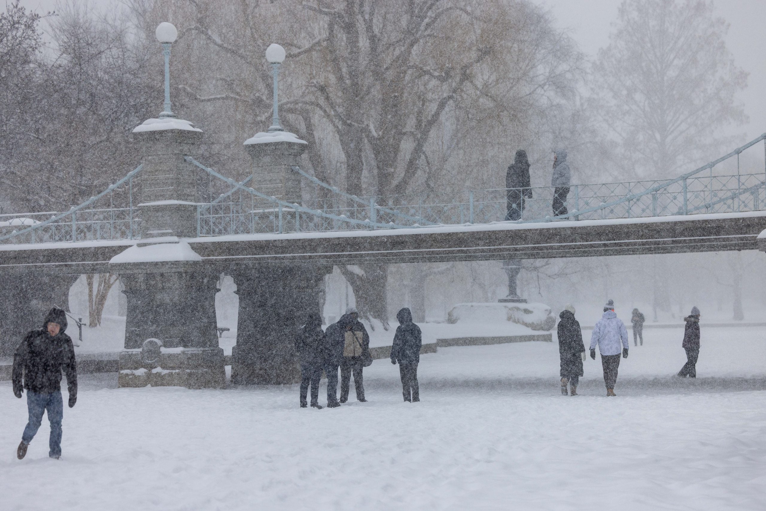
After a brief break, an active, wintry pattern has quickly returned to parts of New England and the interior Northeast, as a quick-hitting clipper continues to bring more snow to the region before exiting the Northeast Wednesday. Winter Weather Alerts remain in effect for parts of the area.
This winter, above-average snowfall has already hit the Northeast, and this fresh system will continue adding to the region's surplus through Wednesday.
Snow spread across western New York, Pennsylvania and New England on Tuesday as the system pushed eastward across southern Canada.
While most of New Hampshire and Vermont have seen 2–4 inches of fresh snow from Tuesday into Wednesday, higher elevations saw closer to 8 inches.
Portions of both Massachusetts and Maine saw about 3–5 inches over the past 24 hours, excluding Gloucester, which has picked up 6 inches.
Winter Weather Advisories remain for portions of New England and the Northeast, including parts of upstate New York, Vermont, and Maine.
Before the system exits New England on Wednesday, it will bring additional chances for snow, with portions of upstate New York, Maine and Vermont expected to see totals in the 3–5‑inch range, with higher elevations likely to receive more.
This follows multiple recent storms that have already dropped significant snowfall, even breaking records in some areas. Cities such as New York City, Syracuse and Boston are all sitting above average for the season.
WINTER WEATHER ALERTS IN EFFECT ACROSS NEW ENGLAND AS CLIPPER DELIVERS SNOW TO BOSTON
Just last weekend, a fast-moving clipper system added more snow to the region, which was still recovering from a massive storm that stretched 2,300 miles across the country in late January, affecting millions of Americans.
HISTORIC WINTER STORM KILLS OVER 80, IMPACTS MILLIONS ACROSS MORE THAN 40 STATES
With temperatures warming up, snow will likely melt, helping the recovery.
The FOX Forecast Center said lake-effect snow will be possible off Lake Ontario as winds turn out of the northwest behind this clipper. However, it will be limited as large portions of the Great Lakes are ice-covered.
Nearly 95% of Lake Erie is ice-covered currently and Lake Ontario is sitting with over 40% ice coverage, as well.
NORTHEAST BRACES FOR DANGEROUS, COLDEST WEEKEND OF THE WINTER AHEAD OF HIGHLY ANTICIPATED WARM UP
Even with the ice coverage, the area could see some more minor lake-effect banding set up into Wednesday, which could bring an additional 1–3 inches from Syracuse to Watertown, NY.
The post Fast-moving clipper brings more snow to New England before exiting Northeast as temperatures climb appeared first on Fox Weather


